服务热线:400-697-9728


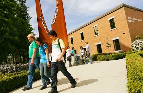
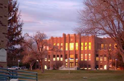
测绘工程理学学士
Bachelor of Science in Geomatics Engineering
 美国
美国
学历文凭
Bachelor Degree

专业院系
Department of Civil, Environmental and Geomatics Engineering

开学时间

课程时长

课程学费

国际学生入学条件
Submit official transcripts from all high schools attended with a certified translation of each transcript. Your school must send official transcripts.
The following units of study in high school are required to be considered for admission to FAU- English (3 with substantial composition): 4 units, Mathematics (Algebra 1 level and above): 4 units, Natural Science (2 with lab): 3 units, Social Science: 3 units, Foreign Language (of the same language): 2 units, Academic Electives: 2 units. Language Proficiency - TOEFL 550 or above, TOEFL IBT 80 or above, IELTS 6.5 or above.
The following units of study in high school are required to be considered for admission to FAU- English (3 with substantial composition): 4 units, Mathematics (Algebra 1 level and above): 4 units, Natural Science (2 with lab): 3 units, Social Science: 3 units, Foreign Language (of the same language): 2 units, Academic Electives: 2 units. Language Proficiency - TOEFL 550 or above, TOEFL IBT 80 or above, IELTS 6.5 or above.
展开
IDP—雅思考试联合主办方

雅思考试总分
6.5
- 雅思总分:6.5
- 托福网考总分:80
- 托福笔试总分:550
- 其他语言考试:Cambridge English Language Assessment - 180, Pearson Test of English Academic (PTE) - 55
CRICOS代码:
申请截止日期: 请与IDP联系 以获取详细信息。
课程简介
Geomatics是在图像处理,数字摄影测量,遥感,基于卫星的全球定位,地理信息系统,基于无人机的地图绘制,激光扫描,测量和数字地图绘制中结合了尖端技术的新术语。此外,测绘工程可以涉及土地开发,建筑测量,法证测量,水文测量和空间数据分析的工作。在设计,开发和操作用于绘制有关陆地,海洋,我们的自然资源和人造特征信息的系统时,地理信息工程师可以从事多种工作。该计划的学生可以与其他工程和地球科学学科合作。该计划为学生提供了一个独特的环境,使学生为获得专业许可的土地测量原理和实践以及工程原理和实践考试做好准备。该
Geomatics is a new term incorporating cutting edge technology in image processing, digital photogrammetry, remote sensing, satellite-based global positioning, geographic information systems, drone based mapping, laser scanning, surveying and digital mapping. In addition, geomatics engineering can involve work in land development, construction surveying, forensic surveying, hydrographic surveying and spatial data analysis. Employment of geomatics engineers is projected to grow up to 15% from 2018 to 2028. Surveyors will continue to be needed to certify boundary lines, work on resource extraction projects, and review sites for construction. The geomatics engineering field is much more than just surveying, it includes geographic information systems, geospatial intelligence, photogrammetry, mapping, geodesy, remote sensing and reality capture using the latest imaging technology.
Geomatics is a new term incorporating cutting edge technology in image processing, digital photogrammetry, remote sensing, satellite-based global positioning, geographic information systems, drone based mapping, laser scanning, surveying and digital mapping. In addition, geomatics engineering can involve work in land development, construction surveying, forensic surveying, hydrographic surveying and spatial data analysis. Employment of geomatics engineers is projected to grow up to 15% from 2018 to 2028. Surveyors will continue to be needed to certify boundary lines, work on resource extraction projects, and review sites for construction. The geomatics engineering field is much more than just surveying, it includes geographic information systems, geospatial intelligence, photogrammetry, mapping, geodesy, remote sensing and reality capture using the latest imaging technology.
展开
相关申请
 预科
预科- 奖学金
- 实习机会
 在校学习
在校学习- 跨境学习
- 校园授课-线上开始
- 在线/远程学习
学校排名

世界排名801
数据源:
泰晤士高等教育世界大学排名

本校相关课程


其他相关课程

地理工程学理学硕士
 卡尔加里大学
学历文凭
Masters Degree
开学日期
课程费用总额

测绘工程哲学博士
卡尔加里大学学历文凭
Ph.D.
开学日期
课程费用总额

地理信息工程(荣誉)学士学位
约克大学学历文凭
Bachelor Degree with Honours
开学日期
课程费用总额
大地测量与测绘工程哲学博士
新不伦瑞克大学学历文凭
Ph.D.
开学日期
课程费用总额

测绘工程技术文凭
不列颠哥伦比亚理工学院学历文凭
Bachelor Degree
开学日期
课程费用总额
地理学理学学士
不列颠哥伦比亚理工学院学历文凭
Bachelor Degree
开学日期
课程费用总额