


- IDP China>
- 课程库>
- 工程与技术>
- 物理科学>
- 地质学>
- Doctor of Philosophy in Earth and Planetary Sciences - Neotectonics And Structural Geology
Doctor of Philosophy in Earth and Planetary Sciences - Neotectonics And Structural Geology

 美国
美国
学历文凭
Ph.D.

专业院系
Department of Earth Sciences

开学时间

课程时长

课程学费

国际学生入学条件
A minimum of a 3.0 undergraduate GPA or B-equivalent (if GPA is not on a 4.0 scale). We recommend that you check with the graduate program as they may have a higher standard for their GPA requirements. If your GPA is below this, follow up with the graduate program you are interested. Applications are reviewed in their entirety and the program can look at your other components and advise you on potential admission.
All applications are initially reviewed by the graduate program before a recommendation is submitted to the Graduate Division for final approval.
We require transcripts with final grades or most recent grades (if degree is in progress) from all college-level institutions you have attended. We also require proof of any degree awarded to you. Confirmation of your degree can be a degree posting on a transcript or a copy of your degree certificate. If you have attended an institution located outside of the US.
IELTS - minimum acceptable overall score is 7 with no score less than 6 on any individual component. TOEFL - minimum acceptable scores are: 550 for the revised TOEFL paper-delivered test and 80 for the TOEFL iBT.
IDP—雅思考试联合主办方

雅思考试总分
7.0
- 雅思总分:7
- 托福网考总分:80
- 托福笔试总分:550
- 其他语言考试:NA
CRICOS代码:
申请截止日期: 请与IDP联系 以获取详细信息。
课程简介
相关申请
 预科
预科- 奖学金
- 实习机会
- 在校学习
 跨境学习
跨境学习- 校园授课-线上开始
- 在线/远程学习
开学时间&学费
学费信息仅供参考,请与IDP联系以获取详细信息
| 开学时间 | 时长 | 学费 | 地点 |
|---|
学校排名

世界排名201
数据源:
泰晤士高等教育世界大学排名
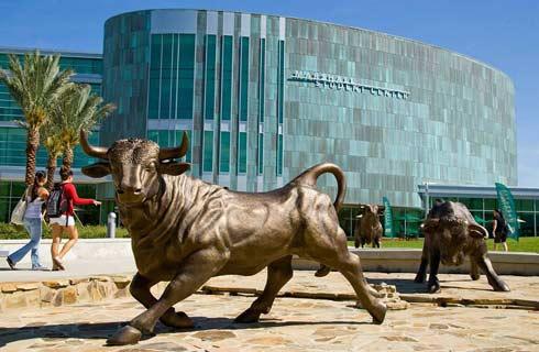
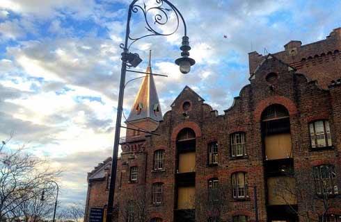
关于加州大学河滨分校

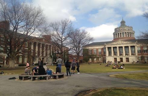
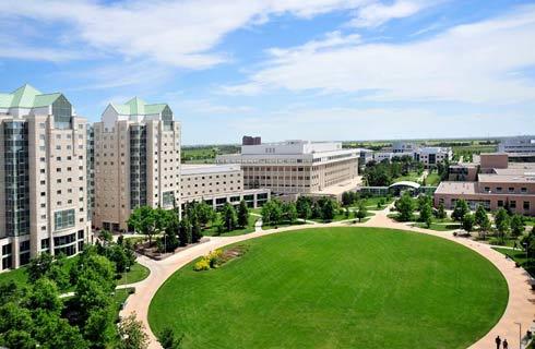
在美国西部洛杉矶和圣地亚哥之间拥有美丽校园的加州大学河滨分校(简称UCR),名列世界大学前200。作为加州大学系统成员之一的UCR是一所值得就读的知名学府。不仅提供一支由世界一流学者组成的专业团队,还提供蔚为壮观的设施和资源,供学生在走入职场前培养自我职业技能。例如,UCR图书馆拥有300万册图书,以及250多万册其他资料,包括为学生提供的各种视听辅助资料。UCR以其进行开创性研究的能力而倍感自豪,名列《华盛顿月刊》美国公立研究型大学前15。大学仅在2016年便已获得1.4亿美元的研究经费。 非常重视包容性的UCR是为未被充分代表群体提供优质教育的先驱。不得不说的是,UCR因其为学生提供的助学贷款而被《学生贷款报告》评为美国最慷慨的公立大学。凭借其促进学生健康生活方式的坚定信念,UCR提供广泛的课外活动供学生参与以保持其最佳身心健康。学生娱乐中心是一个极富魅力的健身设施,拥有一个巨大的游泳池、一个32英尺的攀岩墙、大量校内体育活动及一个配有有氧运动器械和举重房的21000平方英尺健身房。大学还具有浓烈的艺术与文化氛围,拥有450多个可参与的学生组织,并拥有由300多名学生运动员组成的 ''高地人'',属于最高等级的美国大学体育运动中的全国大学体育协会第一级别。
本校相关课程
法律与社会文学学士
学历文凭
Bachelor Degree
开学日期
课程费用总额
通识教育文学士
学历文凭
Bachelor Degree
开学日期
课程费用总额
Bachelor of Arts in Global Studies
学历文凭
Bachelor Degree
开学日期
课程费用总额
亚洲研究文学学士学位
学历文凭
Bachelor Degree
开学日期
课程费用总额
Bachelor of Science in Plant Biology
学历文凭
Bachelor Degree
开学日期
课程费用总额
Bachelor of Arts in Plant Biology
学历文凭
Bachelor Degree
开学日期
课程费用总额
其他相关课程
矿床和前寒武纪地质学哲学博士
 劳伦森大学
劳伦森大学学历文凭
Ph.D.
开学日期
课程费用总额

地质学硕士(基于论文的选修)
劳伦森大学学历文凭
Masters Degree
开学日期
课程费用总额

地质学硕士
阿卡迪亚大学学历文凭
Masters Degree
开学日期
课程费用总额

地质科学学士(荣誉学位)
阿卡迪亚大学学历文凭
Bachelor Degree
开学日期
课程费用总额
地质科学学士
阿卡迪亚大学学历文凭
Bachelor Degree
开学日期
课程费用总额
地质技术文凭
北阿尔伯塔理工学院学历文凭
Bachelor Degree
开学日期
课程费用总额