


空间系统科学学士
Bachelor of Science in Spatial Systems


学历文凭
Bachelor Degree

专业院系

开学时间

课程时长

课程学费

国际学生入学条件
IDP—雅思考试联合主办方

雅思考试总分
- 雅思总分:
- 托福网考总分:
- 托福笔试总分:
- 其他语言考试:
CRICOS代码: 002153M
申请截止日期: 请与IDP联系 以获取详细信息。
课程简介
The Bachelor of Science (BSc) course is designed to provide excellent science education across a broad range of science and technology areas of study and equip students with a range of knowledge and skills to enhance their science studies. The degree will provide flexible pathways to employment, research higher degrees and many professional postgraduate programs.This major aims to provide science students with the background knowledge necessary for a career in spatial science. Spatial Systems is concerned with measurement, representation, analysis, management, retrieval and display of spatial data concerning both the Earth's physical features and the built environment. The principal disciplines embraced by Spatial Systems include the mapping sciences, land administration and management, geographic information systems, environmental visualisation, geodesy, photogrammetry, remote sensing and surveying. The major will develop a knowledge base in spatial measurement and analysis for both the human and natural environment. After completion of a science degree with a major in Spatial Systems students can enter the workforce with their current skills or apply to commence a professional masters degree.
相关申请
 预科
预科- 奖学金
- 实习机会
- 在校学习
 跨境学习
跨境学习- 校园授课-线上开始
- 在线/远程学习
开学时间&学费
学费信息仅供参考,请与IDP联系以获取详细信息
| 开学时间 | 时长 | 学费 | 地点 |
|---|
学校排名

世界排名32
数据源:
泰晤士高等教育世界大学排名
关于墨尔本大学

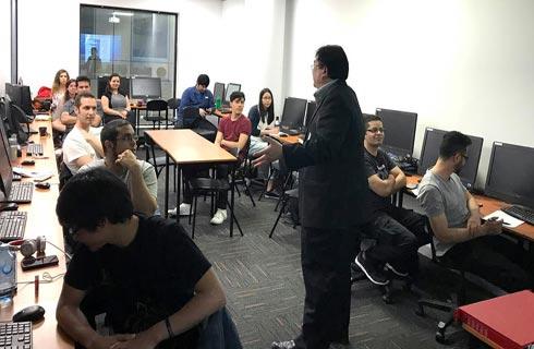
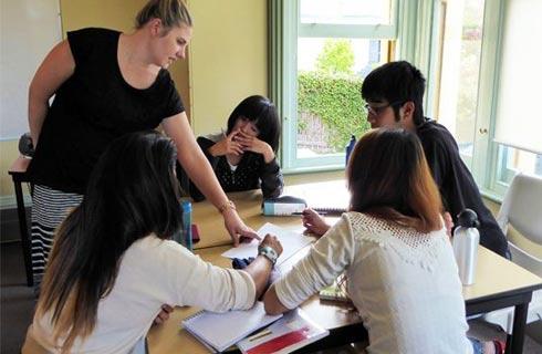
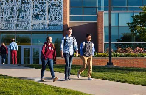
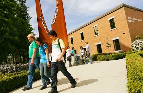
墨尔本大学拥有独特的学习环境,拥有一系列专门为实现突破性发现而设计的可持续设施和校区。 该大学的研究和教育旨在解决当前现实世界的社会问题,重点关注关键的全球问题。该大学的研究网络支持澳大利亚和国际舞台上的尖端发现。 墨尔本历史悠久的帕克维尔校区位于三个全球公认的创新区的中心,该大学的八个专业校区提供生命科学和农业方面的沉浸式教育。 墨尔本的学生为未来在产业界和学术界的职业成功做好了充分的准备。墨尔本有太多值得体验的地方。 搬到这座城市的学生可以确信,他们将在澳大利亚的文化、美食和体育之都留下终生难忘的回忆。 墨尔本一直被经济学人智库评为世界上最宜居的城市之一。 人均咖啡馆、酒吧和餐馆的数量比世界上任何其他城市都多。 这意味着学生有很多地方可以与朋友见面、放松身心并吸收墨尔本独特的文化。墨尔本大学确保学生快速在这座城市安顿下来。 该大学为首次前往澳大利亚的学生提供量身定制的帮助。 大学设有专门的学生生活计划,以确保国际学生在当地文化和大学社区中感到宾至如归、与社区互动并茁壮成长。 该大学拥有世界上文化最多元化的学生群体之一,欢迎来自全球 160 多个国家/地区的国际学生。 墨尔本卓越的支持服务为学生在大学期间提供帮助,并为所有学生提供服务,即使他们毕业后也是如此。
本校相关课程


其他相关课程

Information Systems and Information Management MSc
 利兹大学
利兹大学泰晤士高等教育世界大学排名:118
学历文凭
Masters Degree (Taught)
开学日期
课程费用总额

信息系统科学硕士
萨里大学泰晤士高等教育世界大学排名:244
学历文凭
Masters Degree (Taught)
开学日期
课程费用总额

商业硕士-信息系统
 昆士兰大学
昆士兰大学泰晤士高等教育世界大学排名:80
学历文凭
Masters Degree (Coursework)
开学日期
课程费用总额
Bachelor of Design - Information Environments
昆士兰大学泰晤士高等教育世界大学排名:80
学历文凭
Bachelor Degree
开学日期
课程费用总额
MSc Information Systems
朴茨茅斯大学泰晤士高等教育世界大学排名:490
学历文凭
Masters Degree (Taught)
开学日期
课程费用总额

数据科学硕士
悉尼大学泰晤士高等教育世界大学排名:54
学历文凭
Masters Degree (Coursework)
开学日期
课程费用总额