


环境科学学士
Bachelor of Environmental Science

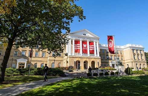
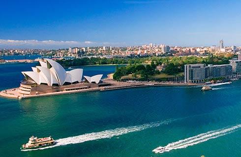
 澳大利亚
澳大利亚
学历文凭
Bachelor Degree

专业院系
UniSA STEM

开学时间

课程时长

课程学费

国际学生入学条件
IDP—雅思考试联合主办方

雅思考试总分
6.0
- 雅思总分:6
- 托福网考总分:60
- 托福笔试总分:550
- 其他语言考试:Pearson PTE - 50 with no communicative scores not less than 50
CRICOS代码: 070414J
申请截止日期: 请与IDP联系 以获取详细信息。
课程简介
Bringing about real change in the way society interacts with the environment requires not only knowledge, but the ability to encourage community participation and coordinate community activities.Your studies will involve in depth examinations in biological, earth and social sciences. You will master the basic skills of Geospatial Information Systems (GIS) and develop your problem solving skills on the many field trips offered throughout the degree. We actively encourage our students to do work experience during their studies. You will have opportunities to develop professional connections, and participate in field studies interstate and internationally.Through Project Live, an immersive virtual environment, you will experience field trips in an entirely new way. In this unique environment, you’ll access remote drone photogrammetry, gigapixel photography, 360 degree panoramic photos and videos, virtual reality platforms using mobile and headset technology to analyse imagery and data relevant to your studies in environmental andor geospatial sciences.This degree has a highly supportive learning environment, with dedicated, internationally experienced staff. Our world class facilities at Mawson Lakes such as the multi million dollar Materials and Minerals Science Learning and Research Hub offer an inspiring environment for collaborative learning, innovation, sustainability and excellence.
相关申请
 预科
预科 奖学金
奖学金- 实习机会
- 在校学习
- 跨境学习
- 校园授课-线上开始
- 在线/远程学习
开学时间&学费
学费信息仅供参考,请与IDP联系以获取详细信息
| 开学时间 | 时长 | 学费 | 地点 |
|---|
学校排名

世界排名201
数据源:
泰晤士高等教育世界大学排名
关于南澳大学

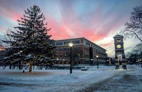
南澳大学(UniSA)是一所全球认可的机构,为来自世界各地的学生提供200多个世界一流的学位。坐落于美好的阿德莱德市的南澳大学拥有两个市中心校园,还有两个大都会校园以及城外的另外两个区域性校园,所有校园都配备了最先进的设施。该大学在研究、就业能力、教学、设施、国际化、社会责任和创新方面被授予了五星,在2019年QS星级评定中达到了五星级总体评分的上限。该机构在优质教育方面在澳大利亚排名第一,并因其对平权的承诺得到了2020年泰晤士高等教育大学影响力排名世界前15名的认可。该大学提供广泛的课程,在全球建校50年以内50强大学排名中位列第29位(2021年QS 建校50年以内50强大学)。大学还拥有由超过6500个学生组成的庞大国际学生社区,近35000个学生团体,并与全球89个合作机构建立了联系。这所年轻且不断发展的机构近年来在基础设施方面进行了总额超过4亿澳元的巨额投资。这使学生可以使用世界一流的学习空间和技术,充分利用大学提供的机会。南澳大学与本地和国际组织合作开发了一系列一流研究,根据2018年澳大利亚卓越研究(ERA)调查,大学被评估的研究中,100%处于世界水平或更高水平。南澳大学被公认为是学术研究人员背景最具国际多样性的澳大利亚大学之一(2021年QS世界大学排名),其教育重点是在与行业紧密联系且全球进取的大学中培养下一代的创新思维。
本校相关课程

环境科学哲学博士
学历文凭
Ph.D.
开学日期
课程费用总额

土木工程研究硕士
学历文凭
Masters Degree (Research)
开学日期
课程费用总额

机械与制造工程研究硕士
学历文凭
Masters Degree (Research)
开学日期
课程费用总额
统计研究硕士
学历文凭
Masters Degree (Research)
开学日期
课程费用总额
Master by Research Systems Engineering
学历文凭
Masters Degree (Research)
开学日期
课程费用总额
计算机信息科学研究硕士
学历文凭
Masters Degree (Research)
开学日期
课程费用总额