


地理科学高级大专-遥感
Graduate Certificate in Remote Sensing
 加拿大
加拿大
学历文凭
Graduate Certificate

专业院系

开学时间

课程时长

课程学费

国际学生入学条件
International English Language Testing Systems (IELTS Academic Test) – minimum score of 6.0 on each test (Listening, Reading, Writing, Speaking).
Test of English as a Foreign Language (TOEFL) – minimum test scores of 80 on the Internet-Based Test (TOEFL iBT), 60 on the Paper-Delivered Test, or 550 on the Paper-Based Test.
Official transcripts – You must submit your official transcript(s) for courses required for admission. We request verification of your complete academic history, including any college or university you attended
Interim transcripts – If you're currently enrolled in courses required for admission, you must submit an interim transcript. Your official final grades must be submitted by the deadline specified in your admission letter.
Transcripts must be emailed to Admissions at documents@nscc.ca by the issuing institution. Official transcripts may also be dropped off in a sealed envelope at any NSCC campus or mailed to NSCC Admissions using the address to the left.
If you're a current Nova Scotia high school student, please provide your Nova Scotia student ID number (can be found on your high school transcript or in PowerSchool) when you apply. We'll retrieve your transcript on your behalf.
IDP—雅思考试联合主办方

雅思考试总分
6.0
- 雅思总分:6
- 托福网考总分:80
- 托福笔试总分:550
- 其他语言考试:Pearson Test of English Academic (PTE) - minimum test score of 55.
CRICOS代码:
申请截止日期: 请与IDP联系 以获取详细信息。
课程简介
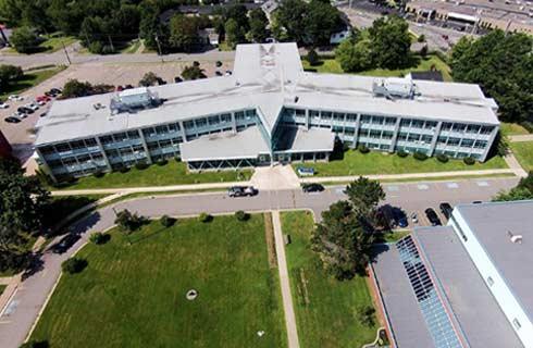
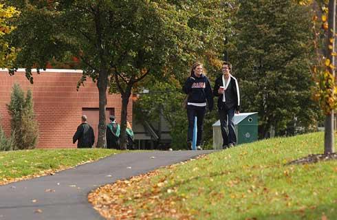
Remote sensing professionals map, measure, and monitor our earth using a range of sensors and cutting-edge technology. Using camera systems, laser scanners (LiDAR) and microwave sensors (RaDAR), they collect, analyze, and report on spatial data. This provides organizations with insights to help solve problems and support decision making in the environmental and natural resources sectors and beyond. In this graduate certificate program, you develop a foundation of Geographic Information Systems (GIS) skills that are enhanced by specialized training. Using industry standard software, you manipulate, analyze, and present data from spaceborne, airborne, and terrestrial systems.<br>Through practical hands-on projects that build on your foundational skills you learn how to:<br>Pilot Remotely Piloted Airborne Systems (RPAS) drones and utilize land-based Global Navigation Satellite Systems (GNSS) survey equipment to collect data.<br>Source available Earth observation (EO) data from government, industry, and research organizations.<br>Interpret and analyze LiDAR, RaDAR, multispectral, hyperspectral and thermal imagery.<br>Present 2D and 3D geospatial information in reports, plans, and digital or hard-copy maps<br>Apply geodesy, programming, and database fundamentals.<br>Integrate, manipulate and manage remotely sensed datasets in a GIS to uncover insights.<br>This program is offered at the Centre of Geographic Sciences (COGS), Canada's largest geomatics-focused learning environment, and prepares you for a career in the global geomatics sector.
相关申请
 预科
预科 奖学金
奖学金- 实习机会
- 在校学习
- 跨境学习
- 校园授课-线上开始
- 在线/远程学习
开学时间&学费
学费信息仅供参考,请与IDP联系以获取详细信息
| 开学时间 | 时长 | 学费 | 地点 |
|---|
本校相关课程

学术和职业联系证书
学历文凭
Bachelor Degree
开学日期
课程费用总额

成就证书
学历文凭
Bachelor Degree
开学日期
课程费用总额

成瘾社区外展高级文凭
学历文凭
Graduate Certificate
开学日期
课程费用总额

飞机维修工程师文凭(航空电子)
学历文凭
Bachelor Degree
开学日期
课程费用总额
飞机维修工程师文凭(机械)
学历文凭
Bachelor Degree
开学日期
课程费用总额
飞机维修工程师证书(结构)
学历文凭
Bachelor Degree
开学日期
课程费用总额
其他相关课程

地理空间情报研究生证书
 乔治梅森大学
泰晤士高等教育世界大学排名:426
学历文凭
Graduate Certificate
开学日期
课程费用总额

土木工程学硕士-地理和地理信息系统
科罗拉多大学丹佛分校学历文凭
Masters Degree
开学日期
课程费用总额
地理科学学士-地理信息系统
阿克伦大学学历文凭
Bachelor Degree
开学日期
课程费用总额

Graduate Certificate in Geospatial Intelligence
乔治梅森大学-INTO USA学历文凭
Graduate Certificate
开学日期
课程费用总额

Bachelor of Science in Geographic Information Science and Master of Science in GIScience and Geoenvironment
西伊利诺伊大学学历文凭
Combined Baccalaureate and Master's Prog
开学日期
课程费用总额

Bachelor of Science in Geospatial Information Sciences
德克萨斯大学达拉斯分校学历文凭
Bachelor Degree
开学日期
课程费用总额